
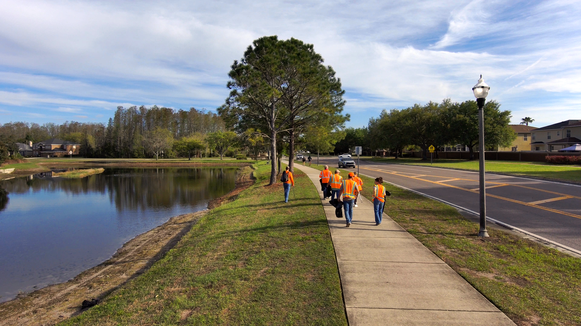
Learn how small acts of community care enhance local environments. Join Florida Design Consultants in fostering pride and quality of life.
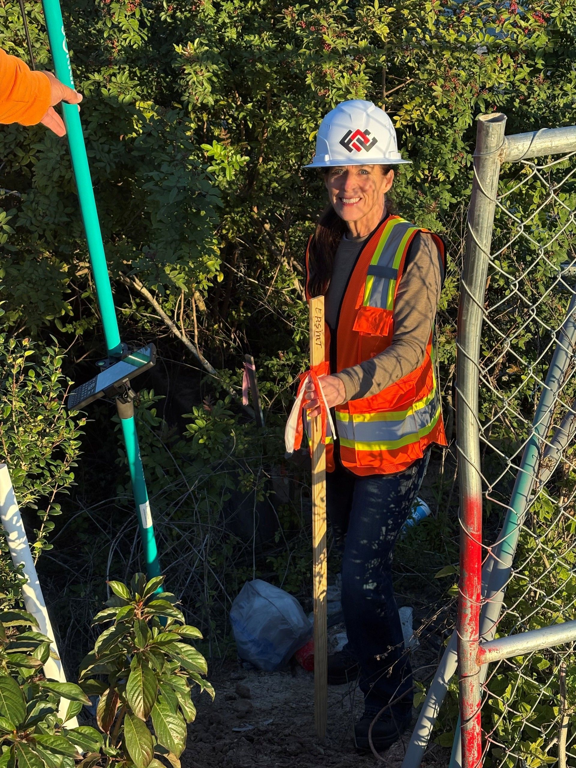
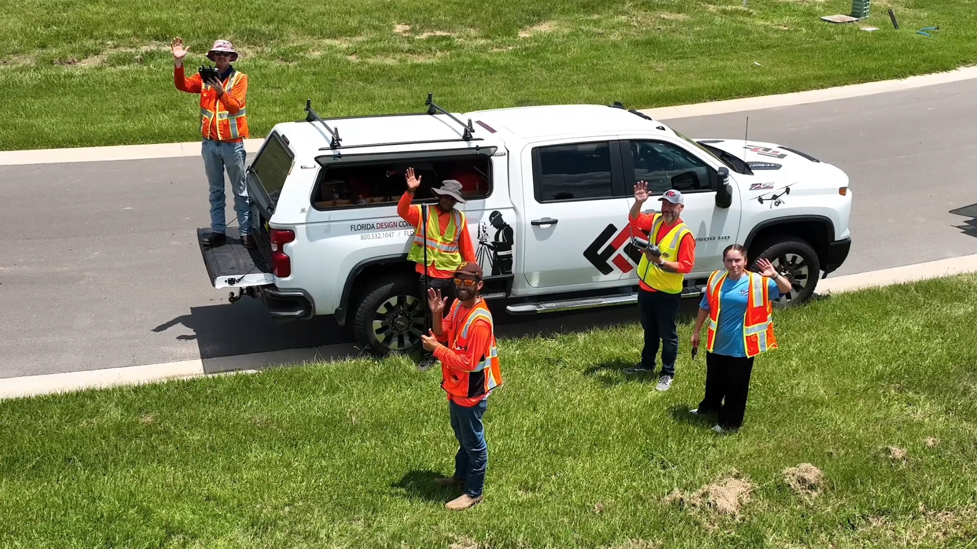
What a Day in the Field Taught Me About Safety, Teamwork, and Surveying at Florida Design Consultants By Megan Russell-Bean, SHRM-CP, Vice President of Corporate Operations

Florida Design Consultants partnered with Promenade Retail and Pasco County to create a walkable commercial center that enhances community growth.
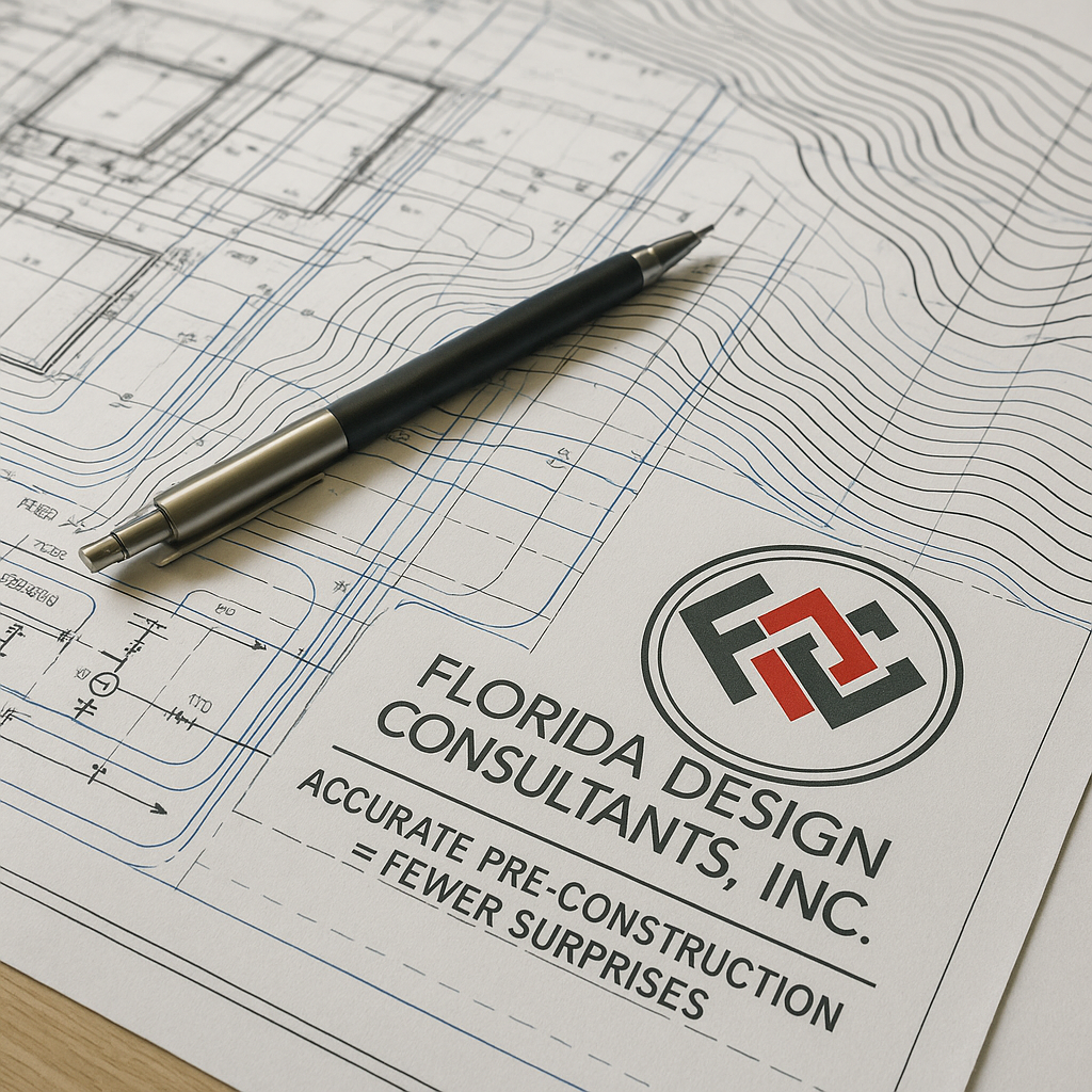
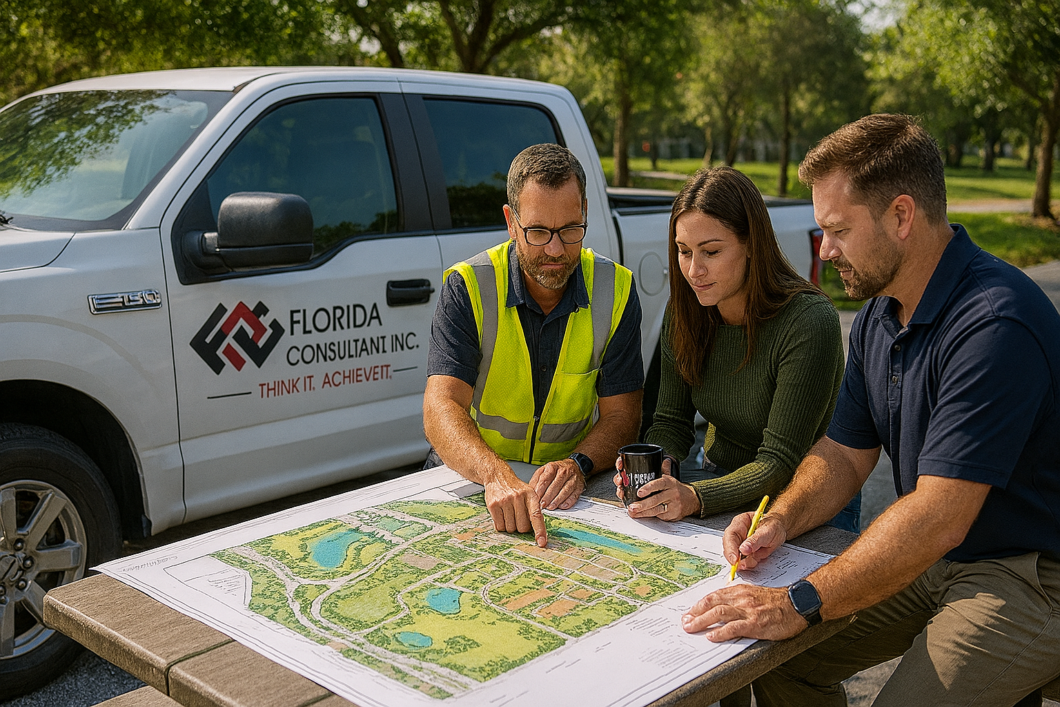
Discover how accurate pre-construction preparation helps
developers and builders avoid costly mistakes. FDC experts Ed Rogers and David
Fleeman share insights on risk reduction, planning, and technology.
“We’ve seen situations where traditional fieldwork might take two weeks. Drones can capture the same data in hours, without sacrificing accuracy.”
Discover how Florida Design Consultants blends aesthetics and function in modern landscape design to create sustainable, beautiful, and functional spaces.
Discover how Florida Design Consultants helped Pulte revitalize Riverwood, overcoming infrastructure, permitting, and environmental challenges to accelerate time-to-market.

Florida Design Consultants Sponsors Pasco EDC’s 22nd Annual NetFest to Support Economic Development and Community Growth
Florida Design Consultants, Inc.'s Survey Department has been a trusted partner for municipal, private land development, and site contractor clients for over 20 years. Specializing in construction stakeout and record (as-built) surveys, the department supports diverse projects ranging from residential and commercial developments to major roadway and pipeline initiatives. With a team-oriented approach and a commitment to meeting schedules and budgets, the department prides itself on its repeat business and ability to resolve construction challenges effectively.
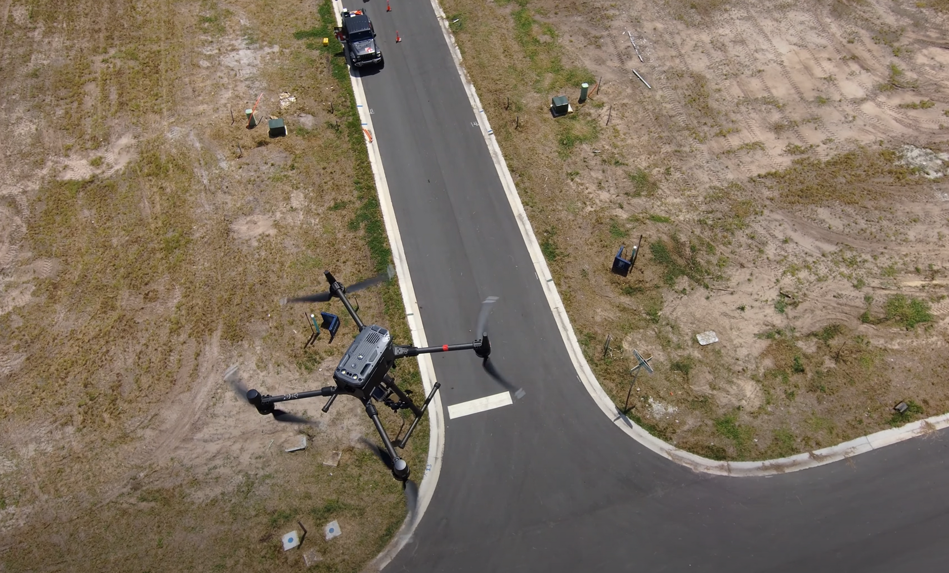
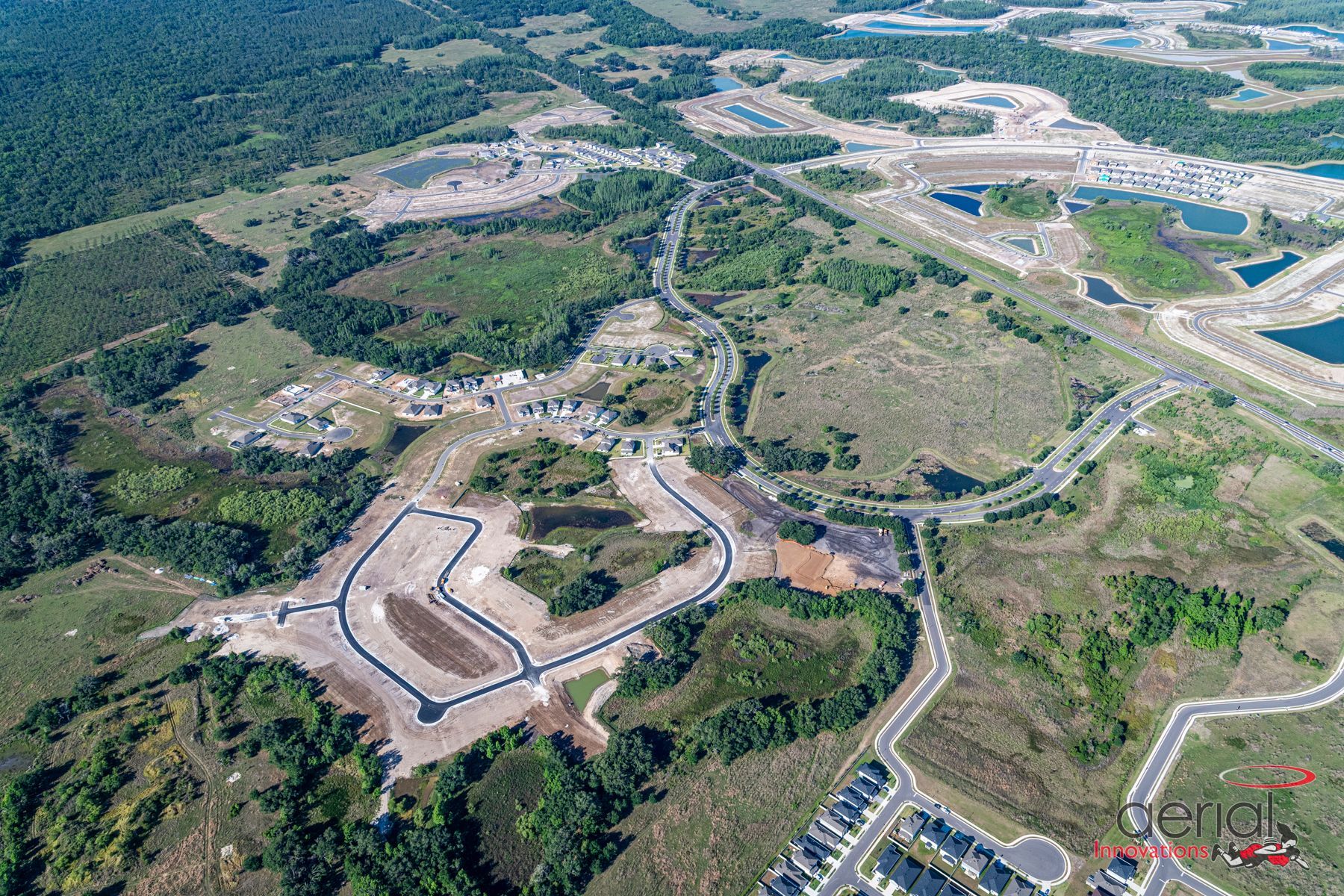
Addressing Industry Challenges with Advanced 3D Terrain Modeling Solutions The construction and land development industries are undergoing significant transformation. The rise of new technologies like 3D modeling, drones, and LiDAR is reshaping how land developers, contractors, and home builders manage projects. However, despite these advancements, the industry continues to face familiar challenges: project delays, cost overruns, and disputes over site conditions. As we move forward, innovative solutions must be embraced to stay competitive. In this blog, we’ll explore the latest trends in construction technology, the ongoing challenges the industry faces, and how advanced solutions like 3D terrain modeling can provide answers. Industry Trends: The Push for Data-Driven Construction With increasing pressure to reduce costs, improve efficiency, and maintain transparency, companies in construction, land development, and home building are looking toward data-driven technologies to meet these demands. According to a McKinsey report, early adopters of digital tools like 3D modeling, drones, and real-time data analytics have seen project costs drop by up to 15%. This shift towards technology not only optimizes workflows but also minimizes risks. Key technological trends shaping the future of construction include: Drones and Aerial Data Capture: Drones are an essential tool for tracking project progress, conducting site inspections, and capturing aerial images. These devices allow for faster data collection, reducing the need for on-site inspections, and providing developers, contractors, and builders with near real-time insights into site conditions. 3D Modeling and Photogrammetry: By creating detailed 3D models of development and construction sites, companies can better visualize project stages, identify potential issues early, and ensure alignment between all stakeholders – whether developers, contractors, or end-users. Photogrammetry —creating 3D images from aerial photographs—is widely used for progress tracking, but often lacks the precision needed for critical tasks like volume calculations and topography assessments. LiDAR Technology: LiDAR (Light Detection and Ranging) offers far greater precision than photogrammetry. By using lasers to measure distances, LiDAR produces accurate, survey-grade models of construction sites, allowing for better project management and dispute resolution. Challenges That Persist in Land Development and Construction Despite technological advances, both the construction and land development industries continue to struggle with several recurring challenges: 1. Inaccurate Progress Tracking: Traditional aerial snapshots taken periodically throughout a project often fail to provide the level of detail needed for accurate tracking, leading to disputes between contractors and developers over project progress. 2. Costly Disputes: Damage to utilities, site conditions, or construction errors can result in significant delays and additional costs. Without accurate records of the site's condition at each stage, developers and contractors face difficulties resolving these disputes. 3. Project Delays and Miscommunications: Managing large-scale construction projects requires constant communication between all stakeholders. However, outdated data and inconsistent site inspections often lead to miscommunication, slowing down project timelines and increasing costs for all parties involved.