How Drones and 3D Modeling Are Changing the Game in Civil Engineering and Site Development
“We’ve seen situations where traditional fieldwork might take two weeks. Drones can capture the same data in hours, without sacrificing accuracy.”
— Brian Drinkwater
Survey Project Manager at FDC
A New Era of Site Intelligence
For developers and builders, every project hinges on understanding the land, what lies beneath, what stands in the way, and what’s possible. Yet, traditional survey methods can be time-consuming, costly, and limited in scope. That’s why drones and 3D modeling are transforming how projects start, and how quickly they succeed. Whether you’re planning a new community, preparing a commercial site, or navigating permitting, integrating drone-based data collection and 3D modeling provides the speed, precision, and visibility needed to reduce risk and move faster.
The Challenges Developers Face Today
● Permitting delays due to incomplete or outdated site data
● Rising construction costs and tight development timelines
● Coordination issues between planners, engineers, and contractors
● Regulatory pressures to account for wetlands, floodplains, and environmental constraints
These pressures demand a smarter, more integrated approach, and that begins with better data.
How Drones and 3D Modeling Deliver Results
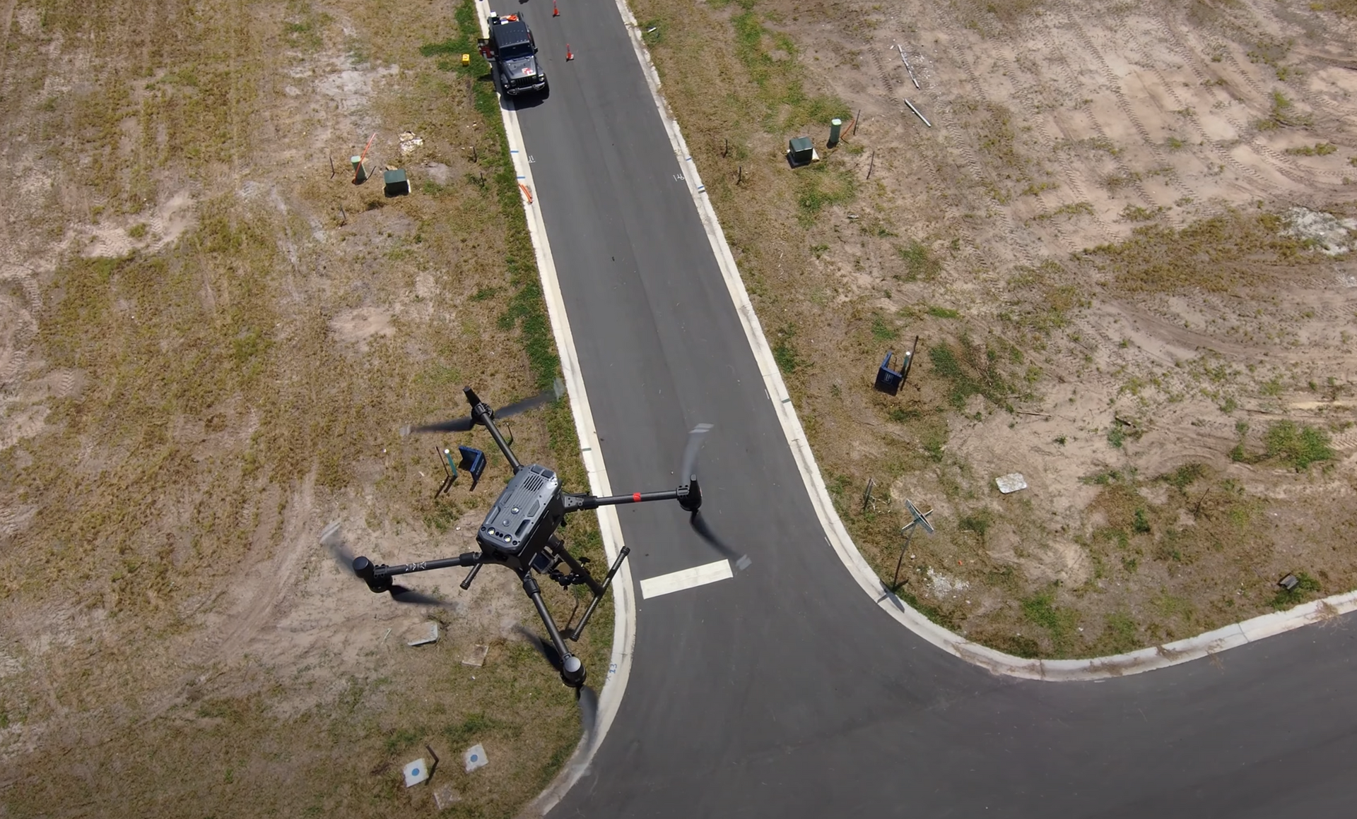
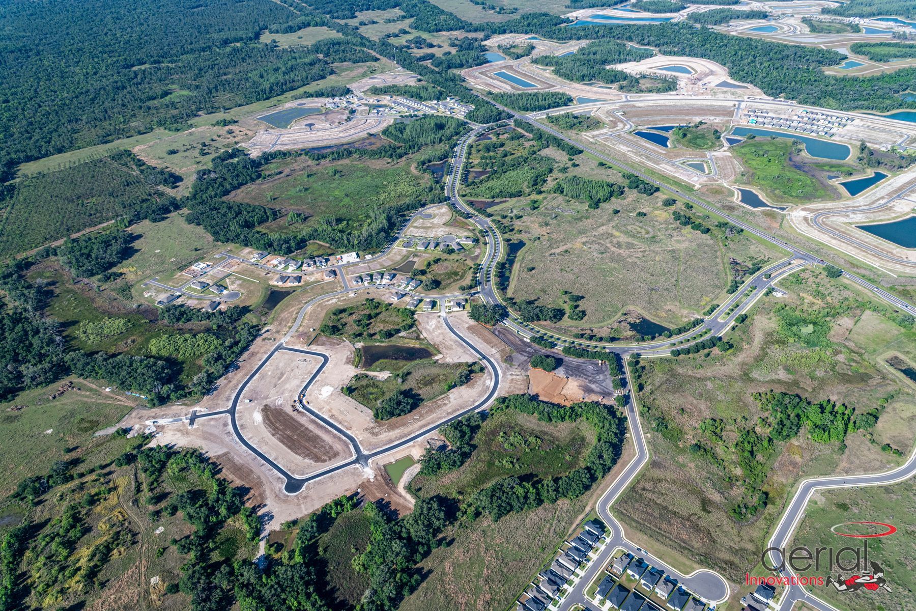
1. Faster, Safer, and More Accurate Site Assessments Drones can cover large or hard-to-access areas quickly, capturing high-resolution aerial images and terrain data.
These flights complete in hours what used to take weeks, without endangering personnel. It’s not about replacing traditional surveying, it’s about supplementing it with richer, faster, and more adaptable tools. According to McKinsey & Company, the use of drones in construction can reduce data-collection time by up to 80% and cut overall project timelines by 10–15%.
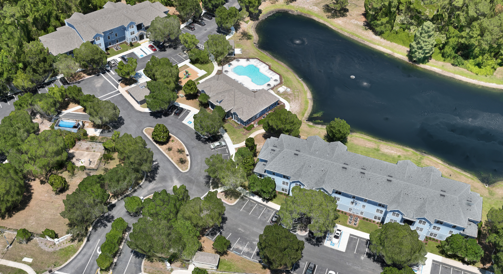
2. Detailed 3D Models That Enhance Decision-Making Today, we can walk a site virtually with a client, even if they’re 100 miles away.
They can pin a location on their phone and send questions or photos directly from the 3D model. Combining drone data with 3D modeling provides developers with a visual, measurable representation of the site. This includes:
● Elevation and slope analysis
● Cut-and-fill calculations
● Hydrologic modeling
● Utility coordination and clash detection
The result? Fewer surprises, better alignment across teams, and faster design adjustments.
3. Streamlined Permitting and Environmental Coordination
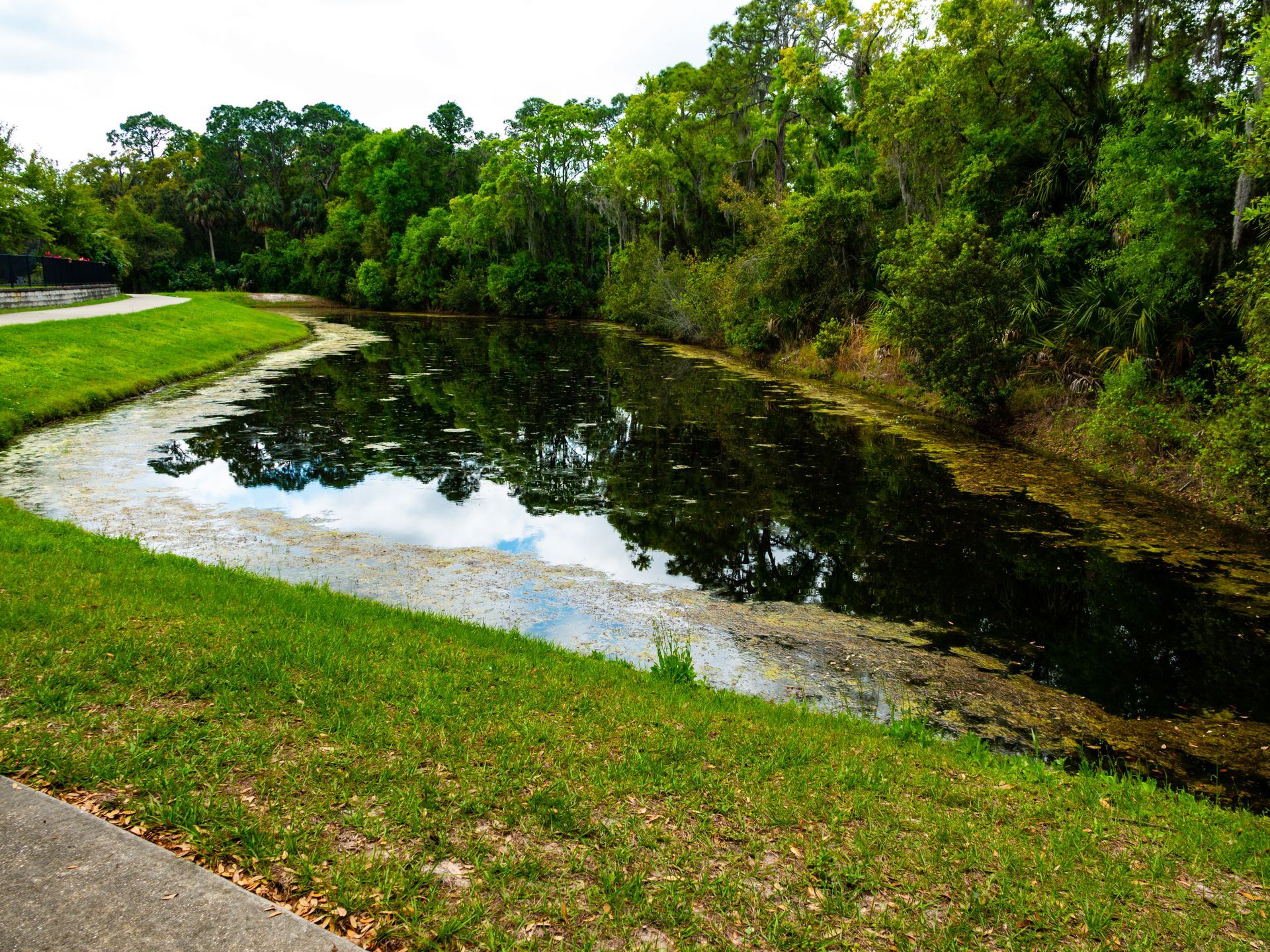
Permitting in Florida often involves wetlands delineation, stormwater planning, and environmental buffers. Drone-collected imagery, paired with accurate terrain models, simplifies coordination with agencies and supports regulatory compliance early in the process.
"Compliance isn’t just about environmental regulations, it also covers your tools. Knowing the rules for drone use is part of practicing responsibly, particularly on public-sector projects." - Jared Patenaude, Executive Vice President & Director of Survey
With state agencies like the Florida Department of Environmental Protection requiring more comprehensive site evaluations, especially under new stormwater rules, developers need data that meets these expectations from day one.
4. Visual Tools That Improve Collaboration
Visualizations from drone and 3D models are more than pretty pictures, they help bridge the gap between design and construction. Developers can show stakeholders real-world conditions and future plans side-by-side, helping secure buy-in and approvals. GIS technology, especially when integrated into design-build and construction workflows, significantly reduces coordination errors and improves team alignment. By overlaying geospatial data with construction schedules, GIS enables real-time monitoring, enhanced communication, and proactive issue resolution among multi-discipline teams (source:
Esri blog).
Why It Matters to Developers
At the end of the day, better data leads to better outcomes. With drone technology and 3D modeling, developers gain:
● Reduced risk from unforeseen site issues
● Accelerated timelines by eliminating manual processes
● Smarter coordination across disciplines
● Greater confidence in early investment decisions
Why Florida Design Consultants (FDC)
It’s not about tech for tech’s sake. It’s about helping clients, and communities, make better, faster, more informed decisions. FDC brings nearly 30 years of experience helping developers turn complex sites into successful communities. What sets us apart:
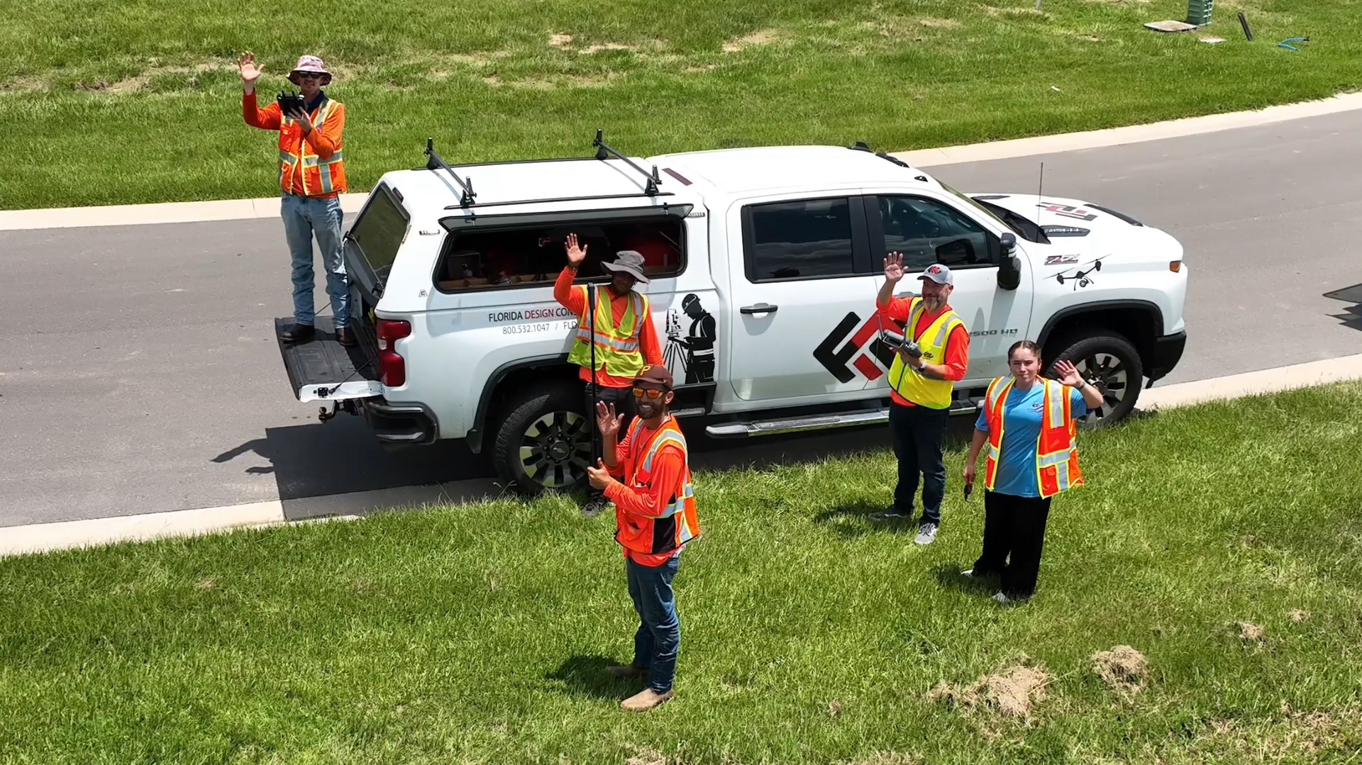
● In-house FAA-licensed drone pilots
● Advanced LiDAR and photogrammetry tools
● Seamless integration of survey data with civil design and permitting
● Deep understanding of local regulatory and environmental requirements We don’t just fly drones, we provide the insights you need to move forward, faster and smarter
Let’s Talk About Your Next Site
If you're planning a development or revitalizing an existing site, FDC can help you see the whole picture, literally. Reach out to learn how we put drone data and 3D modeling to work for you.
